Nelson Izah
Nelson Izah
43.2220° N, 76.8512° E— cursor position

Reading theterrain,then writing thecode for it.

I turn satellite and LiDAR data into maps people can act on, then build the software that puts those maps in front of the people who need them.

Remote sensing/GIS & mapping/Full-stack development/Writing
STATION: ALMATY
LOCAL TIME (UTC+5):--:--:--
STATUS: ACCEPTING COMMISSIONS
02 / FIELD NOTES

About

Nelson Izah
STATION: ALMATYALT: 850M

I got into mapping because I wanted to know what was actually there, not what a report claimed was there — and stayed for the code because a map nobody can update is just a nice picture.

Most of my work sits between two worlds: geospatial analysis (LiDAR, satellite imagery, hydrology, remote sensing) and the modern full-stack tools that turn that analysis into something a city planner, researcher, or team can use directly in their browser.

Based in Almaty, Kazakhstan. Open to collaborative engineering on geospatial dashboards, interactive mapping tools, and data infrastructure.

02.5 // GEODETIC OBSERVATORY

Field Coordinates

GEODETIC TELEMETRY:43.2220° N, 76.8512° E
DRAG TO ROTATE·SCROLL TO ZOOM·CLICK TO DROP BEACON
ACTIVE BASE
Almaty Geodetic Station
ELEV: 850m · 43.22°, 76.85°
FIELD SURVEY NODES:
03 / FIELD SURVEYS

Selected Builds

All case studies
SURVEY 001 — FEATUREDremote_sensing
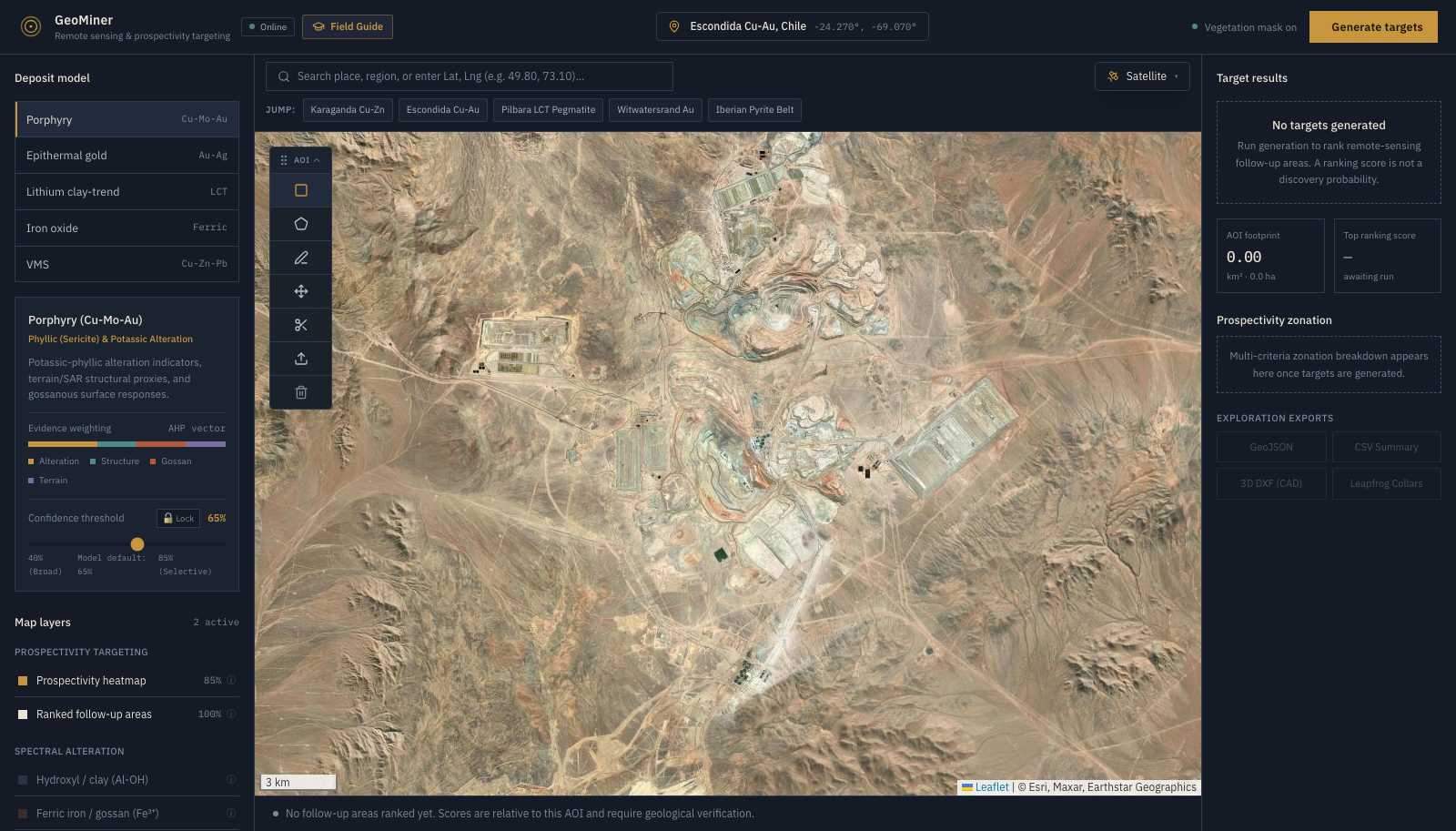
GeoMiner: Mineral Exploration Targeting System

GeoMiner: Mineral Exploration Targeting System

A single 500m diamond drill hole costs ~$250,000. Over exploration license blocks spanning 50 to 5,000 km², blind drilling is financially prohibitive. Early-stage exploration teams require rapid, regional generative reconnaissance to eliminate barren terrain and pinpoint high-probability alteration zones before deploying field crews.

Google Earth Engine · Sentinel-2 · Copernicus DEM
View survey
SURVEY 002 gis
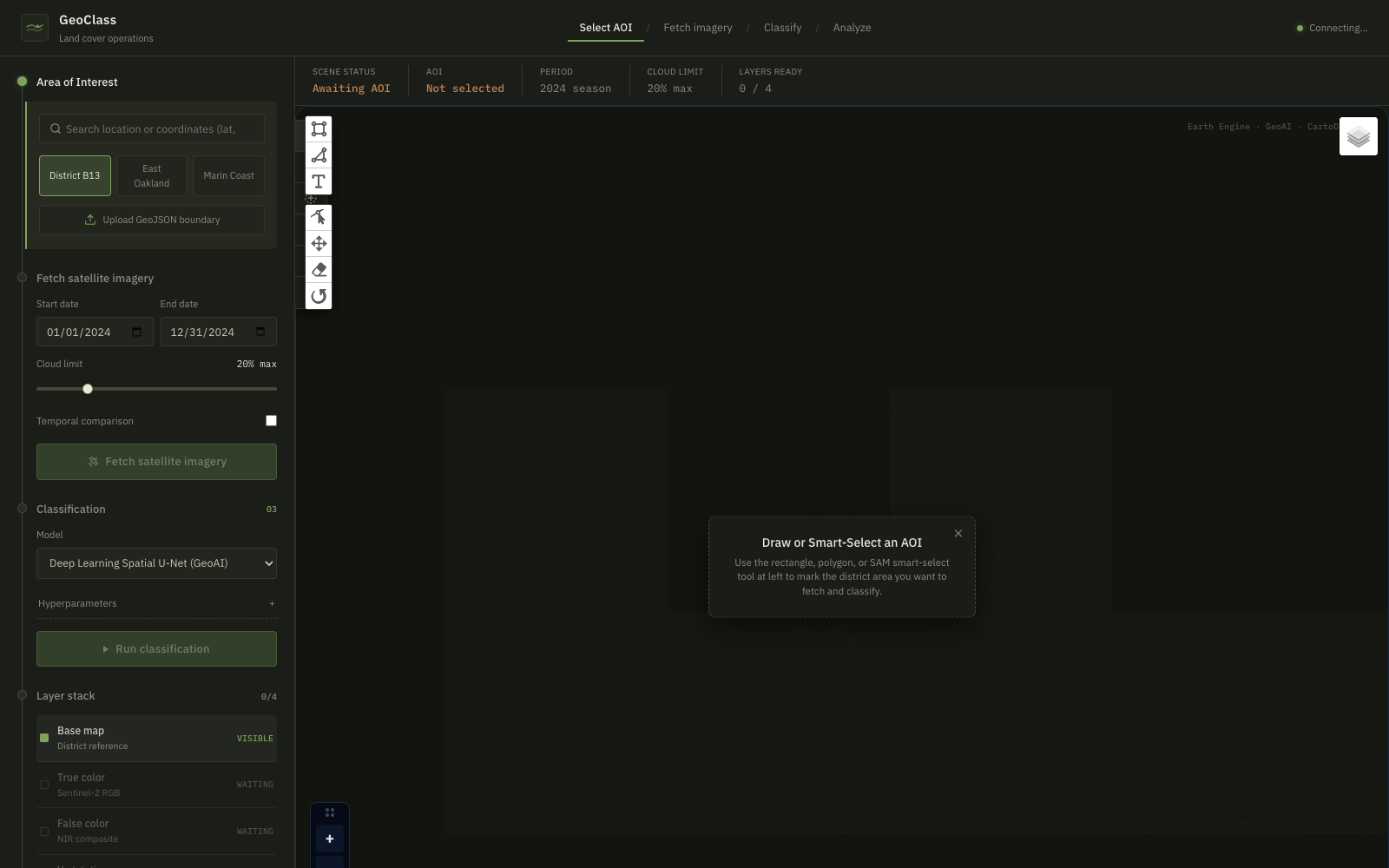
GeoClass: Browser-Based Land Cover Analysis

GeoClass: Browser-Based Land Cover Analysis

Traditional satellite land-use and land-cover (LULC) classification requires heavy desktop software (QGIS, ArcGIS, ENVI), gigabytes of raw raster downloads, and complex cloud-masking scripts. Environmental researchers face steep friction when attempting rapid assessments of regional environmental change.

Google Earth Engine · Sentinel-2 · FastAPI
View survey
SURVEY 003 web
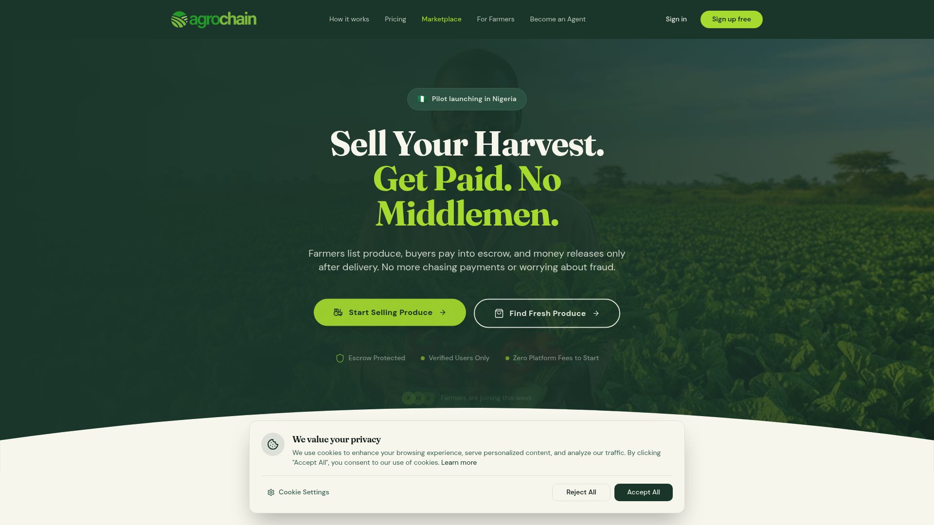
Agrochain

Agrochain

The agricultural sector often suffers from intermediaries taking large cuts, delaying payments, and causing lack of trust between farmers and buyers. Farmers lack secure mechanisms to sell directly to buyers.

Next.js · React · Smart Contracts
View survey
04 / WRITING & ESSAYS

Field Notes

All writing
GEOSPATIAL & EXPLORATION
The $250,000 Question Every Exploration Company Faces

The $250,000 Question Every Exploration Company Faces

There’s a number that sits behind almost every decision in mineral exploration: $250,000. That’s roughly what a single 500 meter diamond drill hole can cost. How GeoMiner compresses months of regional satellite reconnaissance into hours.

5 MIN READREAD ➔
FAITH & REFLECTION
When God Is the Wind: Learning to Wait, Hear and Follow Him

When God Is the Wind: Learning to Wait, Hear and Follow Him

There are seasons in our lives when God is not asking us to do more. He is asking us to slow down, listen, wait, and allow Him to lead. We are so ready to beat the wind that we forget to ask where the wind is blowing.

7 MIN READREAD ➔
05 / FIELD TRANSMISSION

Send Coordinates

Initiate a transmission

Whether you have a geospatial dataset, satellite pipeline, or need an interactive web platform built from scratch, transmit below or connect via direct channels.

Open to remote work worldwide
STATION ALMATY (43.22° N, 76.85° E)LATENCY: 24–48H
Nelson Izah

Reading the terrain, then writing the code for it. Based in Almaty — collaborating with clients worldwide.

43.2220° N, 76.8512° E
© 2026 NELSON IZAH — ALL RIGHTS RESERVED